Real estate appraisal report of Shimura Yamanoue, Ryūō-chō, Gamou-gun, Shiga-ken 520-2531, Japan
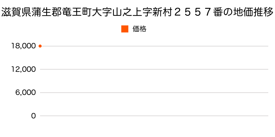
18,000 yen
As the result of the real estate appraisal carried out on Jul 01, 1997, the land value for real estate of Shimura Yamanoue, Ryūō-chō, Gamou-gun, Shiga-ken 520-2531, Japan was determined for 18,000 yen / m².
Real estate appraisal report (partly written in Japanese)
| Researched at | 01 Jul, 1997 |
|---|---|
| Lot number(Chiban) | 滋賀県蒲生郡竜王町大字山之上字新村2557番 |
| Address | Shimura Yamanoue, Ryūō-chō, Gamou-gun, Shiga-ken 520-2531, Japan |
| Price | 18,000yen/㎡ |
| Access | Oumihachiman , 10 , 500 M |
| Acreage | 515㎡ |
| Aspect ratio | (1.0:1.5) |
| Structure | 建物などの敷地、W(木造)1F |
| Present | |
| Water, sewer and gas services | Water, sewer and gas |
| The vicinity | |
| Main road | south 5.0m city road |
| The other roads | |
| Allocation of use zoning | urbanization control areas |
| Building‐to‐land ratio, Floor area ratio | -(%),-(%) |
| Development area | controlled urbanization area |
| Natural environment |
Environment (Written in Japanese)
| 地形・地質 | 砂礫台地砂礫・岩質の土質でできた起伏の少ない地形のことである。土地開発は容易であり、造成地の地質は比較的強固である。 「国土交通省 地震に対する地盤の安全性 地形分類の評点」:3点(5点満点中) 半固結・固結堆積物不均質かつ未固結な土塊類(あるいは岩塊類)から構成されルーズな土地、斜面はしばしば土砂災害の原因となる。 |
|---|---|
| 土地利用・植生 | ヤブツバキクラス域代償植生 |
| 黄砂エアロゾル | PM10及びPM2.5の飛散それぞれ認められるため、対応が必要。 |
| 緯度・軽度 | 東経 35度0409747 北緯 136度1375866 |
Map
Shimoda, Konan, Shiga Prefecture 520-3201, JapanShimoda, Konan, Shiga Prefecture 520-3201, JapanYamanoue, Ryuo, Gamou District, Shiga Prefecture 520-2531, JapanYamanoue, Ryuo, Gamou District, Shiga Prefecture 520-2531, Japan