Real estate appraisal report of Kanose, Aga, Higashikanbara District, Niigata Prefecture 959-4302, Japan
11,100 yen
As the result of the real estate appraisal carried out on Jan 01, 2006, the land value for real estate of Kanose, Aga, Higashikanbara District, Niigata Prefecture 959-4302, Japan was determined for 11,100 yen / m².
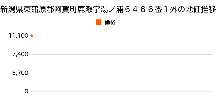
Real estate appraisal report (partly written in Japanese)
| Researched at | 01 Jan, 2006 |
|---|---|
| Lot number(Chiban) | 新潟県東蒲原郡阿賀町鹿瀬字湯ノ浦6466番1外 |
| Address | Kanose, Aga, Higashikanbara District, Niigata Prefecture 959-4302, Japan |
| Price | 11,100yen/㎡ |
| Access | Kanose , 2 , 800 M |
| Acreage | 331㎡ |
| Aspect ratio | (1.2:1.0) |
| Structure | 建物などの敷地、W(木造)2F |
| Present | residence |
| Water, sewer and gas services | Water, sewer and gas |
| The vicinity | 住宅と温泉旅館が混在する既成住宅地域 |
| Main road | south 9.0m national road |
| The other roads | |
| Allocation of use zoning | other areas |
| Building‐to‐land ratio, Floor area ratio | 70(%),200(%) |
| Development area | city‐planning area |
| Natural environment |
Environment (Written in Japanese)
| 地形・地質 | 半固結・固結堆積物不均質かつ未固結な土塊類(あるいは岩塊類)から構成されルーズな土地、斜面はしばしば土砂災害の原因となる。 火山砕屑岩火山砕屑岩で出来た土地。地盤の形成された時期によっては土砂災害・液状化などのリスクが有る。地形性質上過去に火山災害のあったエリアであるため、現在もそのリスクが無いかの確認が必要。 |
|---|---|
| 土地利用・植生 | 宅地 |
| 黄砂エアロゾル | PM10の飛散は国内においては比較的少ない。PM2.5の飛散については特に少ないというわけでは無いため対策が必要。 |
| 緯度・軽度 | 東経 37度6895536 北緯 139度4759917 |
Map
Kanose, Aga, Higashikanbara District, Niigata Prefecture 959-4302, JapanKanose, Aga, Higashikanbara District, Niigata Prefecture 959-4302, JapanMukaikanose, Aga, Higashikanbara District, Niigata Prefecture 959-4301, JapanKanose, Aga, Higashikanbara District, Niigata Prefecture 959-4302, JapanKanose, Aga, Higashikanbara District, Niigata Prefecture 959-4302, Japan