Real estate appraisal report of Nakaharamachi, Nishi Ward, Kumamoto, Kumamoto Prefecture 861-5271, Japan

58,200 yen
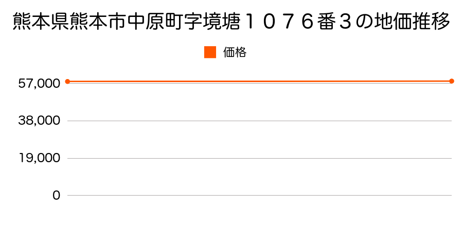
As the result of the real estate appraisal carried out on Jul 01, 1998, the land value for real estate of Nakaharamachi, Nishi Ward, Kumamoto, Kumamoto Prefecture 861-5271, Japan was determined for 58,200 yen / m².
Real estate appraisal report (partly written in Japanese)
| Researched at | 01 Jul, 1998 |
|---|---|
| Lot number(Chiban) | 熊本県熊本市中原町字境塘1076番3 |
| Address | Nakaharamachi, Nishi Ward, Kumamoto, Kumamoto Prefecture 861-5271, Japan |
| Price | 58,200yen/㎡ |
| Access | Kumamoto , 7 , 300 M |
| Acreage | 181㎡ |
| Aspect ratio | (1.0:1.0) |
| Structure | 建物などの敷地、W(木造)2F |
| Present | |
| Water, sewer and gas services | Water, sewer and gas |
| The vicinity | |
| Main road | east 4.0m city road |
| The other roads | |
| Allocation of use zoning | category 1 medium-to-high-rise exclusive residential districts |
| Building‐to‐land ratio, Floor area ratio | 60(%),150(%) |
| Development area | urbanization area |
| Natural environment |
Environment (Written in Japanese)
| 地形・地質 | 人工地形埋立地のように人工的に造成された土地。地震に対する地盤の強度は十分ではなく、地震の際には液状化などのリスクが非常に高い。 海運・倉庫等、用途が明確で用地取得時のメリットと災害時のリスクを差し引きして価値を見出せるビジネス以外で用いるべきではない。 「国土交通省 地震に対する地盤の安全性 地形分類の評点」:3点(5点満点中) |
|---|---|
| 土地利用・植生 | 宅地 |
| 土壌 | グライ土壌 |
| 災害リスク:津波 | 浸水区域(寛政4年(1792) 有明海津波) 過去の周辺地域の津波被害の確認が必要。 |
| 黄砂エアロゾル | PM10及びPM2.5の飛散が国内においては比較的多いため、対策が必要。精密機器の製造などでは品質に問題を及ぼす可能性もある。 |
| 緯度・軽度 | 東経 32度7720242 北緯 130度6342147 |
Map
Nishi Ward, Kumamoto, Kumamoto Prefecture, JapanJozanshimodai, Nishi Ward, Kumamoto, Kumamoto Prefecture 860-0066, JapanOshima Shimomachi, Nishi Ward, Kumamoto, Kumamoto Prefecture 861-5284, Japan2 Chome-7-7 Jōzanshimodai, Nishi-ku, Kumamoto-shi, Kumamoto-ken 860-0066, JapanNakaharamachi, Nishi Ward, Kumamoto, Kumamoto Prefecture 861-5271, Japan9 Chome-1-10 Oshima, Nishi-ku, Kumamoto-shi, Kumamoto-ken 861-5287, JapanNakaharamachi, Nishi Ward, Kumamoto, Kumamoto Prefecture 861-5271, Japan9 Chome-1-10 Oshima, Nishi-ku, Kumamoto-shi, Kumamoto-ken 861-5287, Japan2 Chome-7-7 Jōzanshimodai, Nishi-ku, Kumamoto-shi, Kumamoto-ken 860-0066, Japan